You might want to consider trading in your set of carving knives for a set of skis this Thanksgiving. Here's why: much of the U.S. High Country woke up to snow this morning, and it couldn't have come at a better time. Opening weekend for most resorts is just days (or hours) away. Plus, more snow is also in the immediate and long-range forecasts for many regions, too. Learn more about the snow totals and forecasts below.
New England resorts received up to 1 foot
A big, lake-affect storm blew through New England over the weekend, dropping up to one foot of new snow at high elevations. Vermont's resorts seemed to have made out best, according to OpenSnow New England forecasters. Killington was able to open another slope thanks to the extra snow and Okemo opened today with top to bottom skiing thanks to the new snow and cold, snow-making friendly conditions. Due to the fairly significant snowfall totals in the Green Mountains of Western Vermont, Stowe also just announced it will open tomorrow, Wed., Nov. 23.
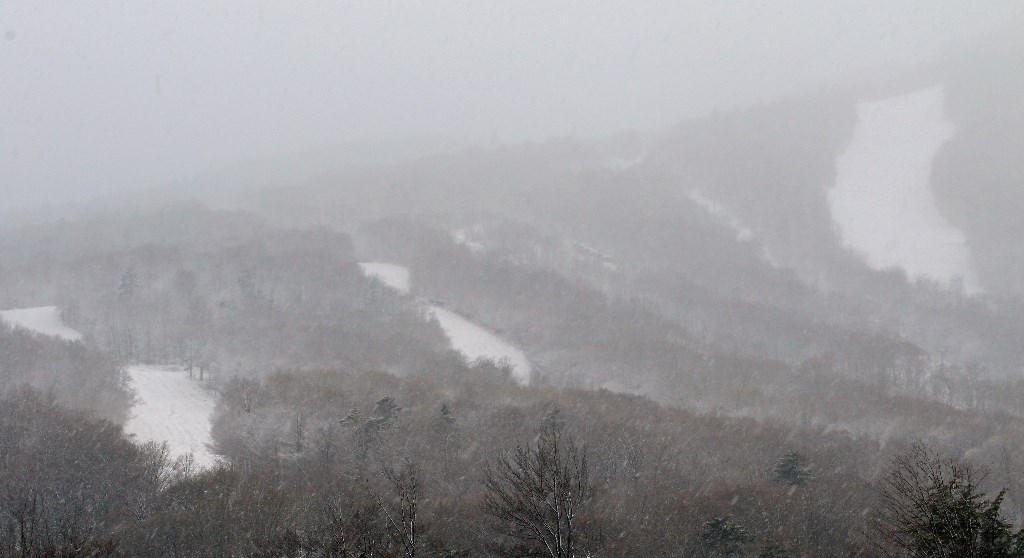
Conditions at Jay Peak yesterday
There's more snow in the forecast for New England. "Though still under uncertainty, another system looks to move in through the day on Saturday, and move through the region through the day and into the evening on Sunday," according to OpenSnow New England forecasters.
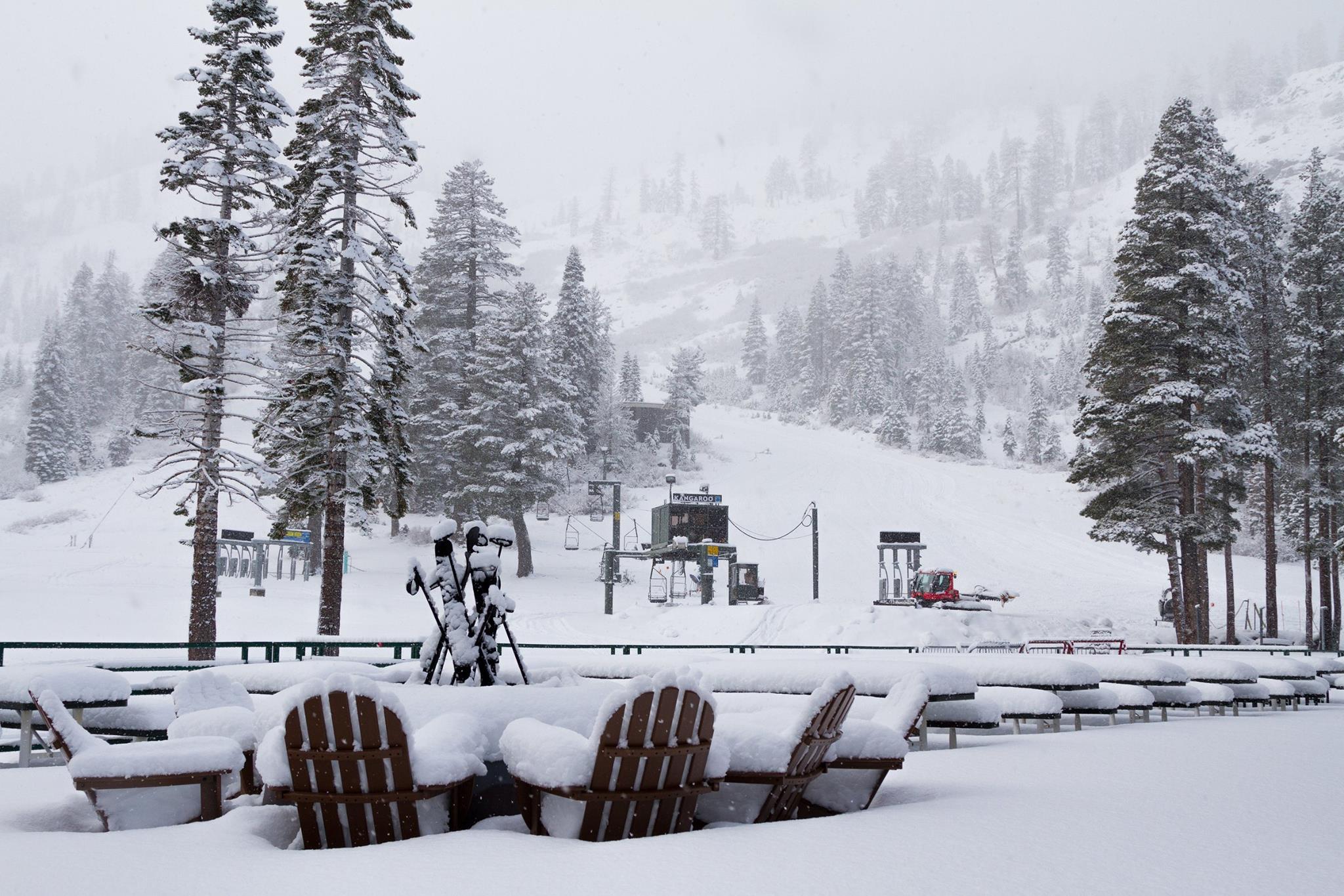
Colorado resorts saw up to 18"
The southern San Juan Range, which includes Telluride, seems to have made out best from this latest storm, which is still sitting over much of Colorado. Area resorts are reporting up to 18 inches, according to OpenSnow Colorado forecaster Joel Gratz. North and central resorts received four to eight inches, which is in perfect timing for Copper Mountain, which opened yesterday, Crested Butte and Winter Park, which open tomorrow, and Vail, which opens Friday. Plus, Breckenridge, which kicked off ski season over the weekend, is planning on opening more terrain thanks to the new snow and cold temperatures.
.JPG)
Copper Mountain opening day conditions
Another storm is expected to hit Colorado on Wednesday, dropping another two to four inches, according to Gratz.

The extended Colorado forecast is looking positive for skiers and riders, too.
"A series of storms should hit Colorado between Saturday night (Nov 26) through Wednesday (Nov 30)," says Gratz, "I cannot share anything more about the exact timing or track of these systems, but I can say that all mountains should get snow on multiple days and temperatures will cool down."
Utah resorts are reporting up to 17"
Although many resorts are not yet reporting snowfall it seems that the Cottonwood resorts made out best. Snowbird reported 15 inches in the last 24 hours and 17 inches for the storm total, while Alta's snow take was last read at 10 inches, according to OpenSnow Utah forecaster Evan Thayer.
According to Thayer, "Our next storm is Wednesday afternoon thru Thursday morning. This storm is quick moving, cold, and lacking a bit in moisture, but should be able to drop 4-8" for the high elevations."

Lake Tahoe resorts experienced up to 15"
A storm also dropped ample snow on Lake Tahoe resorts over the past two days. Squaw Valley received 15 inches and they're set to open tomorrow. Heavenly saw at least five inches fall and is planning on opening tomorrow, too, along with Northstar. Today, a second storm hits Tahoe and up to seven inches is expected for parts of the region.

Ready to ski? Our 70+ Destination Experts are standing by to help you book your complete ski vacation package. You can also get started by filling out a form for a free, custom quote.